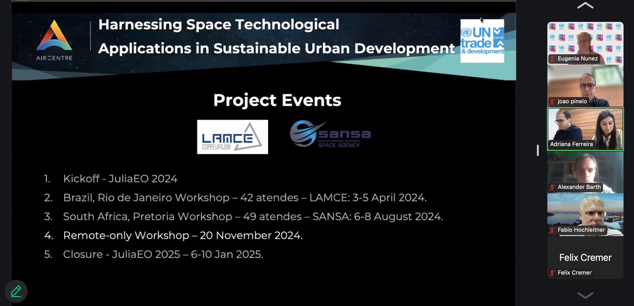
This event is part of an UNCTAD-AIR Centre project entitled Harnessing space technological applications in sustainable urban development, aimed at building capacities in developing countries, in particular of women scientists, to use of satellite imagery to generate and share knowledge, data and information that meets critical sustainable urban needs and enhance planning and implementing sustainable policies to meet SDGs in particular SDG 6 and SDG 11.
The event is a remote training, targeting professionals in remote sensing, geographic information systems and data science, including those already trained in national workshops in Brazil and South Africa.
The primary goal of the workshop is to provide participants with intermediate-level training using the Julia programming language to visualize and process earth observation data, with a focus on applications related to sustainable human settlements.

